mail_outline [email protected]
Choose a picture from our collection for your Wall Art and Photo Gifts
22 Items
CalstockOkel Tor Mine, Calstock, Cornwall. Around 1890
Camborne Collection38 Items
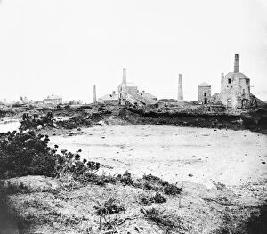
Carbis BayWheal Providence mine, Carbis Bay, Cornwall. Probably 1880s after the mine closed
Gwennap Collection2 Items
Hayle Collection2 Items
Illogan Collection30 Items
KeaFalmouth Consolidated Mines, Wheal Jane, Kea, Cornwall. Early 1900s
Lelant Collection2 Items
PerranzabuloeGeneral surface view, Alfred mine, Perranzabuloe, Cornwall. Around 1910
Quarrying Collection10 Items
Redruth Collection6 Items
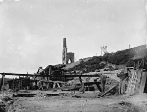
SithneyWheal Trannack Mine, Sithney, Cornwall. Around 1900
St Agnes Collection12 Items
St AustellNew Wheal Eliza Mine, St Austell, Cornwall. 1908-1913
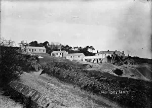
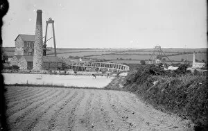
St HilaryTregurtha Downs Mine, St Hilary, Cornwall. Around 1890
St Ives Collection5 Items
St Just in Penwith Collection24 Items
St Stephen in BrannelTolgarrick Mine, St Stephen-in-Brannel, Cornwall. 1922
TowednackAmalbrea tin stream works, Towednack, Cornwall. 1920s
Unknown Collection5 Items
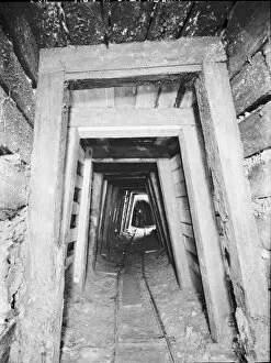
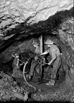
Driving an end at East Pool Mine, Illogan, Cornwall. 1893Driving an end with a box drill mounted in a stretcher. Copy photographer: Charles Woolf
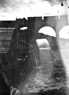
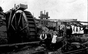
Lower Quarter Burning House Stamps, Ludgvan, Cornwall. Around 1920-1925With waterwheel and children. Photographer: Dr R.D. Slack